Manchester Street to Camelford Street
Please note that this text is an extract from a reference work written in 1990. As a result, some of the content may not reflect recent research, changes and events.
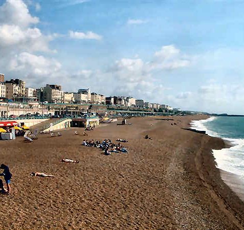
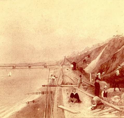
Brighton’s East Cliff rises to around eighty feet above the sea at Eaton Place on ‘Head’ or ‘Coombe’ deposits, an easily eroded chalk rubble mixed with clay and flints. Protected from the 1830s for the whole of its length by a massive sea-wall, the East Cliff presents, in its Marine Parade frontage, a sea-front facade unsurpassed anywhere in Britain. Since 1908 it has also been known as the King’s Cliff in honour of Edward VII (q.v.) who had associations with Kemp Town.
Developed from the 1780s until the 1870s, the East Cliff is now an outstanding conservation area and includes also the many roads leading northwards from Marine Parade, delightful streets lined with small-scale lodging houses, and middle-class and artisan housing. It also covers the small streets to the north of St James’s Street and the attractive Victorian terraces around College Place and Sudeley Place.
To make an exploration of the area easier, the streets of principal interest leading northwards from Marine Parade are detailed below in topographical order from the Steine eastwards, but see also “Bristol Road“, Marine Parade“, “St George’s Road” and St James’s Street
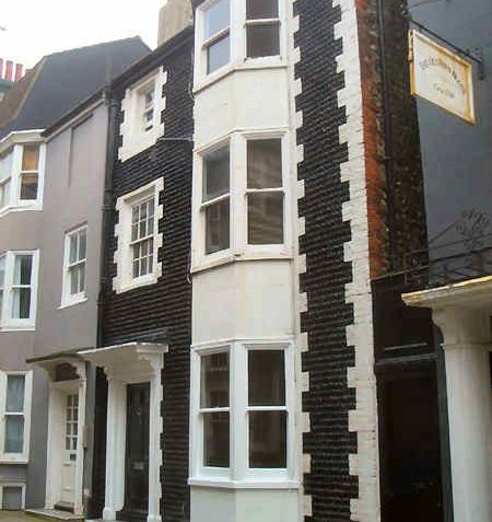
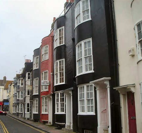
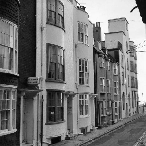
a) MANCHESTER STREET: The two listed buildings are no.9, the Star public house which has narrow bows and a good doorway, and no.10, the Golden Girl Restaurant, a three-storey, late-eighteenth-century building with a pair of bows and faced in mathematical tiles. No.17, included on the council’s local list, is also faced with mathematical tiles and has a bow. Dolphin Mews was completed in 1985 in Georgian style on the site of the Southdown Coach Station. {44}
b) CHARLES STREET: A delightful street of small, late-eighteenth-century cottages. Nos.9-12 are bow-fronted listed buildings, nos.10-11 being faced with mathematical tiles. Nos.20-23, which were saved by the Environment Minister after a public inquiry in December 1968 from demolition by Southdown Motors Ltd, are also faced with the distinctive black glazed tiles and are listed. No.8 has a cobbled facade. {44,123}
c) BROAD STREET: Developed in the 1790s by Thomas Howell with small lodging houses. Nos.4, 7, 9, 21, 23, 25 and 26, mostly with bows and fanlight doorways, are included on the council’s local list of buildings of special interest. No.14 is faced with black mathematical tiles. {14}
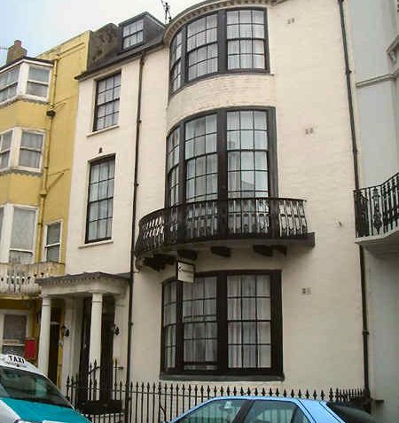
d) MADEIRA PLACE: A wide road of attractive, four-storey lodging houses developed from the late 1780s and known as German Place until 1914 after the proprietor’s nationality. No.18 is an early-nineteenth-century listed house with mathematical tiles and a bow, while nos.11, 13 and 14 are included on the council’s local list; all have narrow bows. Nos.20-23 were restored in 1985 as part of Olivier House. {14,48}
Any numerical cross-references in the text above refer to resources in the Sources and Bibliography section of the Encyclopaedia of Brighton by Tim Carder.


Comments about this page
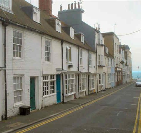
Lovely to see a photo of Camelford Street. My husbands 3x great grandparents show up at numbers 13, 14 & 15 between 1841 & 1861.
I was delighted to see Camelford Street! My grandfather’s first wife, Ethel Margaret Smedley, was born at No.17 in 1885. Her parents were John William Smedley and Margaret Eleanor Smedley (nee Harding). If anyone knows the Smedley family history, I would love to know what happened to Ethel Margaret. After her marriage, she was Ethel Margaret Price.
Great to see photo of Camelford Street. I have just discovered some family – whose surname was Packham. They were living and working at the White Horse Inn at no 30 Camelford Street in 1881. I would love to find out more about it.
Add a comment about this page